
NavIC vs GPS: What’s the Debate?
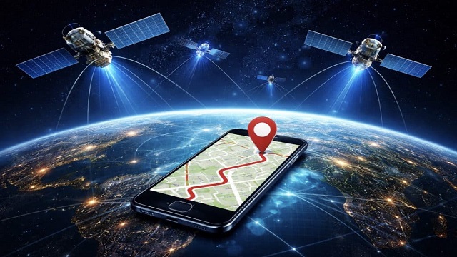
India’s regional satellite navigation system, NavIC, has attracted attention following a major development in October 2026. The addition of the NVS-03 satellite marks an important step in strengthening the country’s navigation capabilities.
NavIC stands for “Navigation with Indian Constellation” and is part of the Indian Regional Navigation Satellite System (IRNSS). The NVS-03 satellite is one of five next-generation satellites planned to improve the system and provide better navigation services.
NavIC uses three frequency bands, known as L1, L5, and S bands, to provide navigation services. Its coverage includes the entire Indian region and extends approximately 1,500 kilometres beyond the country’s borders. This allows the system to support navigation for users within India and nearby areas.
The NVS-03 satellite is equipped with an Indian-made atomic clock, along with imported clocks. Atomic clocks are important for satellite navigation because they help maintain accurate timing, which is essential for determining locations.
The new satellite has renewed discussions about whether India’s NavIC system or the US-developed GPS is better. These discussions have become particularly important during periods of geopolitical tension, when countries may face concerns about depending on foreign navigation systems.
Experts believe that strengthening NavIC is important for India’s technological independence and national security. A reliable domestic navigation system can help reduce dependence on other countries and support critical services during emergencies or international conflicts.
The development of NVS-03 represents another step in India’s efforts to improve its space technology and build a stronger satellite navigation system for the future.